November 27, 2015

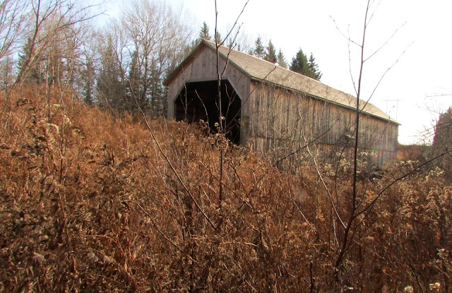
Shediac River No.4 (Joshua Gallant)


Depending on the time of year, this bridge  can be obscured from the road by trees, and there is no signage to warn you where to turn.  It is very close to the Shediac River Road, just down a short track on the north side.  This is another 'retired' bridge that has been incorporated into the snowmobile trail system.


Cocagne No.3 (Poirier)


Cocagne No. 5 (Budd)


November 19, 2015

Point Wolfe


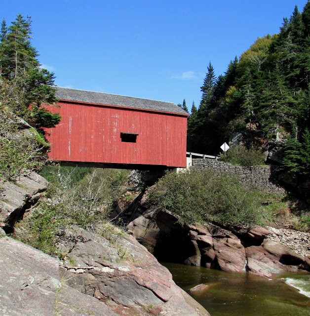
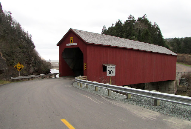
The first New Brunswick covered bridge I visited in life was the old Point Wolfe bridge in Fundy National Park, back when we were still tourists in the Maritimes.   There are two bridges in the park, the other one being Forty Five River bridge, both of which are functional and maintained by Parks Canada.
  
Since winter is rapidly approaching as I write this entry, I will note here that the road to the Point Wolfe bridge is inaccessible to vehicular traffic in the winter, as the park closes off the road just past the driveway to the swimming pool, before the golf course. 


The current Point Wolfe bridge is actually a replacement, built in 1993 when the previous bridge was badly damaged in a construction mishap, and does not technically qualify for entry on this blog of historic bridges. However, to leave this particular bridge out is unthinkable, as both it and its predecessor have been the most frequently visited by us, and all family and friends from abroad have been taken to one or the other of them over the years.  And now, no less importantly, we have a family member who works as an interpreter at Fundy Park, adding to the connection.


Of note, the Point Wolfe bridges have been the only bridges in the province, for whatever reason, to have been painted red. Compare this to the more widely varying designs of covered bridges in the United States, most of which are painted. Why not in New Brunswick, I wonder; was it simply a case of thrift?


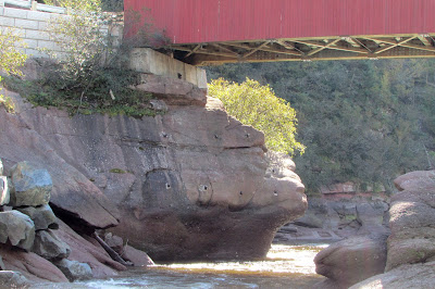
There were still the remains of a logging dam on the Point Wolfe River when we moved to New Brunswick.  [These first four photographs were taken by my father in the early 80s.]  Long before this was part of a national park, there was a sawmill and a small village at this site.  In the photos below I have included  some of the structural remains of the logging dam that are still clearly evident near the new bridge.   I include these top pictures for comparison.


The current bridge


Here is an undated photograph from the Provincial Archives showing the old dam from the side.
Used with permission © Provincial Archives of NB
This is what it looked like in 2010.

commons.wikimedia.org/wiki/File:Point_Wolfe_Dam_-_Fundy_National_Park.jpg

And this is what remains in 2015.


 On the north side of the bridge, there are the remains of staging for the sawmill wharf (?) . I must check with my Park contact to see what he knows.  I have not been able to find any good historic photographs yet to figure this out.  If you compare this to the photographs taken in the 1980s (above), you will see that this was completely covered by river rocks and sand.   People used to sit down here and have picnics.


If you want to take some original photographs that will be different from the typical tourist-y shots of this bridge, then hike down to the Point Wolfe beach at low tide, walk across to where the Point Wolfe River enters the estuary, and you will have the following view of the bridge.  The estuary floor is not all sand and rock, and we sank deeper than our ankles in one soft spot under the seaweed, so choose your footwear accordingly.


This is the view from the bridge  looking downstream showing where you will end up - just at the end of the rock wall on the right. 


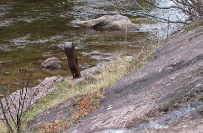
Hardware embedded in the rock from previous logging/sawmill enterprises.