August, 2017: The Hammond River No. 2 covered bridge no longer exists.
August 24th, 2017
Well, it looks like it's all done. From a posting on the Covered Bridges New Brunswick Facebook page today (https://www.facebook.com/groups/coveredbridgenb/), a member who lives nearby went to capture the destruction on her camera.
Here is a link to see all Tamara Langstroth Wilson's photographs: Albums re. Destruction of the French Village Covered Bridge.
I think I would have been in tears had I been able to get there this week.
The Hammond River No. 2 covered bridge no longer exists.
***
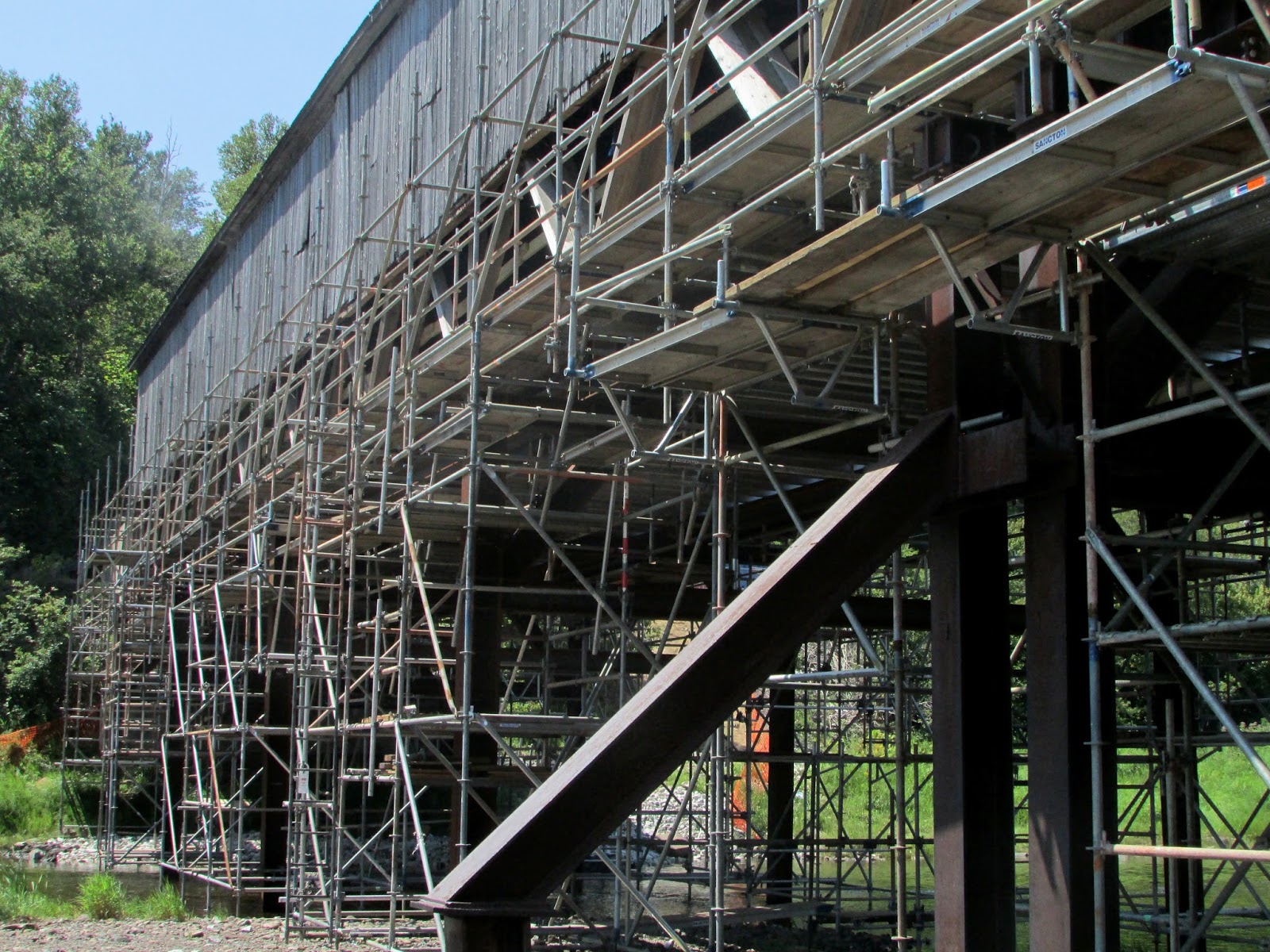
August 9th, 2017
A gorgeous day out, and a picnic by the river with young relations. There seemed to be a lot of work still going on here, looking more along the line of reinforcement than destruction. I do not know what's going on now, but will update as and when things are revealed. Is there still hope?


***
August 4th, 2017. Today's news. It's a bit like a death in the family: Covered bridge across Hammond River to be replaced with modular one.
I'll be heading down for a visit and (it would seem), some last photographs of the bridge next week.
***
July 25th, 2017. Sad news today. The bridge is in worse shape than first thought, and it is now closed indefinitely: Discovery of Wood Rot Forces Closure
***
Here are links to the latest CBC news updates on this bridge which was damaged by a heavy excavator that exceeded the weight restriction, and is now closed to all traffic. The happy news is that the bridge is going to be repaired instead of replaced. (photo credits CBC)

December 9, 2016: Provincial Dept. of Transportation and Infrastructure news release
December 9, 2016 CBC news release: Hammond River covered bridge repairs will begin in 'immediate future'
*
October 21, 2016: Province uncertain over covered bridge's future as repairs continue
*
October 6, 2016: Excavator crashes through historic covered bridge, remains stuck
***
July 18, 2015
This is a bridge that can be seen clearly from Highway 1, and after passing it many times, I finally stopped to visit it today. Another idyllic summer day, with anglers and people enjoying the water nearby.


