August 23, 2016

Milkish Inlet No.1 (Bayswater)


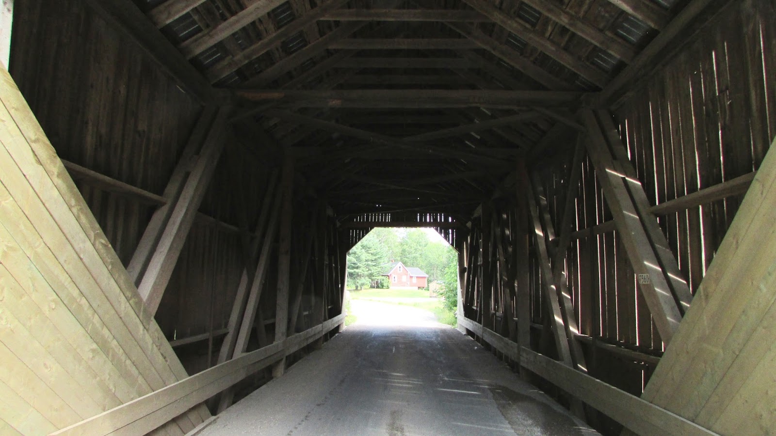
Today we went in search of the Milkish Inlet bridge, the last one in Kings County left for me to visit.  And what a gorgeous day out we had finding this one.  We took the Summerville-Millidgeville ferry across the Kennebecasis River to get to the Kingston Peninsula.  I prefer this one to the busier Gondola Point ferry further upstream, as it takes a bit longer and feels more like an adventure than a commute.   [Click here for up to date ferry crossing information.]  And then it is a very short drive to the bridge, 3 or 4 km.  

This is beautiful cottage country along here, perfect for slow afternoon drives, and there are also a few lighthouses to find on the way if you are an enthusiast.  I've added a picture of the rather unusual Sand Point lighthouse at the bottom of this page, for interest.  


A fairly busy bridge, there was steady traffic going across it while we were there.  It had a  number of boards missing or damaged on the south face that one would expect to have been repaired before this late date in construction/repair season. 

Inside, there were a couple of places where vertical steel reinforcement bars had been added to the structure, something I haven't seen before.


Underneath, you can see the concrete pier  in the middle supporting the two spans of the bridge.   The vast majority of New Brunswick's covered bridges are single span, though some of these have had steel beam piers added to save them from collapse, or to allow for the increased weight of modern  traffic.


***
Sand Point lighthouse  

This light, high on a skeleton tower, was built in 1869, one of the inland system of lighthouses along the Saint John River.  An enlargeable map with links to all the lighthouses in the province can be found here: Lighthouses of New Brunswick.


August 13, 2016

Trout Creek No. 5 (Moores Mills)
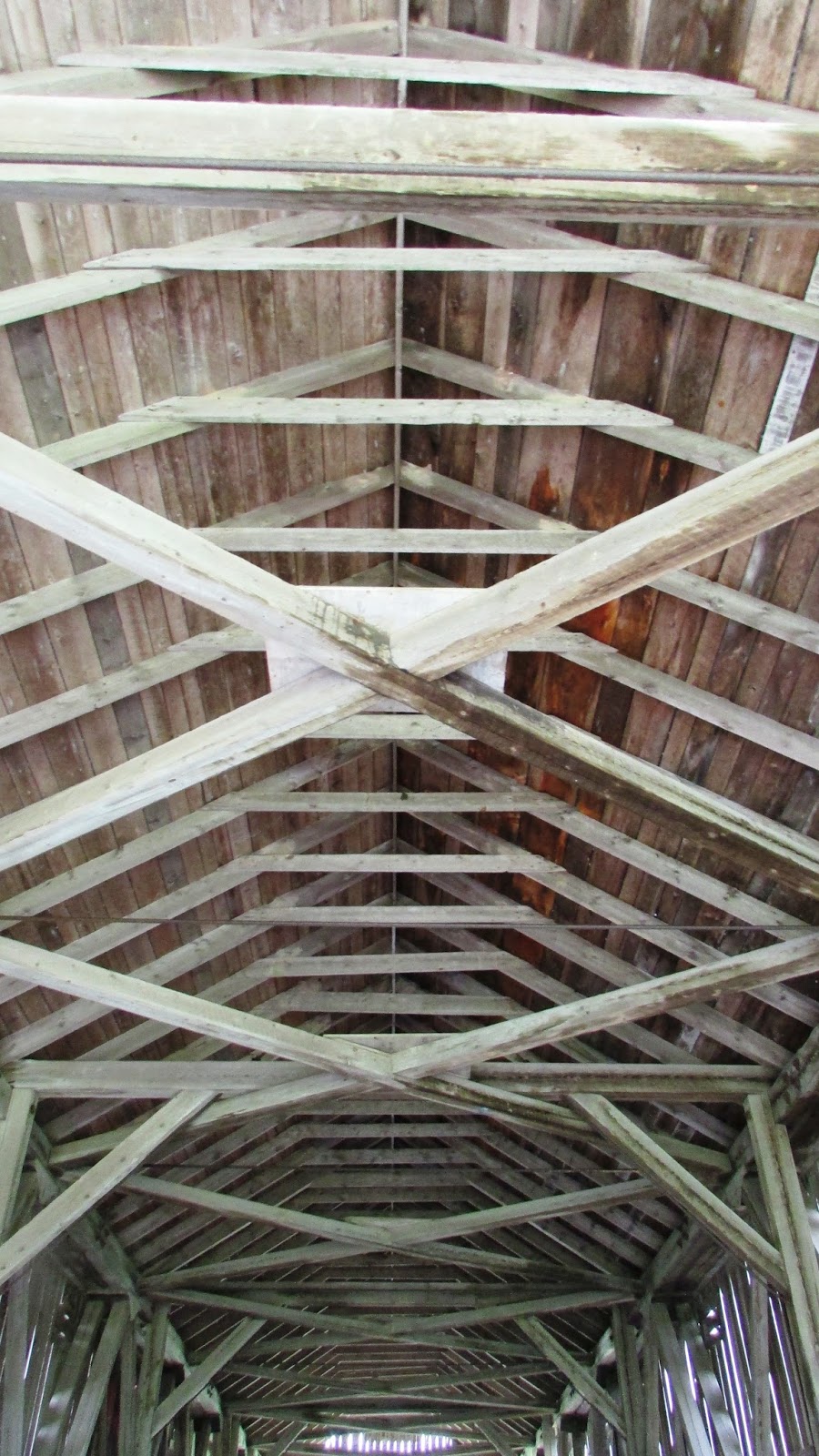


We finally revisited the two little bridges that span Trout Creek near Poley Mountain, southeast of Sussex.  Driving up through Fundy National Park, we thought we'd try something new - taking the Shepody Road west across country following the signs to Adair's Wilderness Lodge on Creek Rd.  The roads are not paved for about 20 km of this route until a little way north on Creek Rd, but they are in good condition overall (it's been a hot, dry summer so far this year, so caution to anyone reading this at a later date when seasonal changes can vastly alter these road surfaces).   

Trout Creek is a tributary of the Kennebecasis River that eventually empties into the Saint John River.  It is shallow enough to wade in and take profile photographs of the bridge here as it meanders along.  The bridge itself is one of the smaller ones in the province, extending less than 18m in length.  Of note, there is a measuring stick in the bank below against one of the abutments, which is the first time I have ever seen one in situ under a covered bridge, presumably put there for recording water levels in spring and other high water conditions.  


Trout Creek No.4 (Urney)


This is the other Trout Creek bridge visited today; another small one, about 20m in length.  It looks like there has been a recent concrete bank reinforcement added around one of the abutments, leaving the original stone work uncovered on the river face though, which is a nice touch.   


July 14, 2016

Little Lepreau River No. 1.5


After an appointment at the museum in Saint John this morning, we carried on to seek out the Little Lepreau covered bridge.  We discovered that this area along the Bay of Fundy coast is gorgeous - none of the four people on the outing had ever been around these particular roads, so it was a lovely surprise.  The bridge itself was easy to find; it's almost immediately to your right after crossing the Basin Rd. intersection on Little Lepreau Rd.  This is another bridge that could use some TLC with replacement of missing boards and generally keeping the surrounding flora under control.  In days gone by, there was a local person put in charge of general maintenance of the bridges, clearing the snow, etc.  It would be nice if someone could be recruited for each of the out of the way bridges to watch over them and perform small maintenance jobs as required, instead of waiting for the DOT to get around to them all.

After you visit the bridge, it is highly recommended that you drive the coastal roads to places like Maces Bay and Dipper Harbour.  There are some wonderful views of the bay and fishing villages.  You also have to go right by the entrance to the Point Lepreau nuclear power plant along the way, and we stopped at the visitors' gate to see if it was possible to go in for a tour, but were told that they haven't been doing public tours since 2011.  So, that little idea was squashed.  The power plant itself is hidden from view behind the surrounding forest.


On the other side of the road from the bridge, the river empties into the Little Lepreau Basin.