July 14, 2016

Little Lepreau River No. 1.5


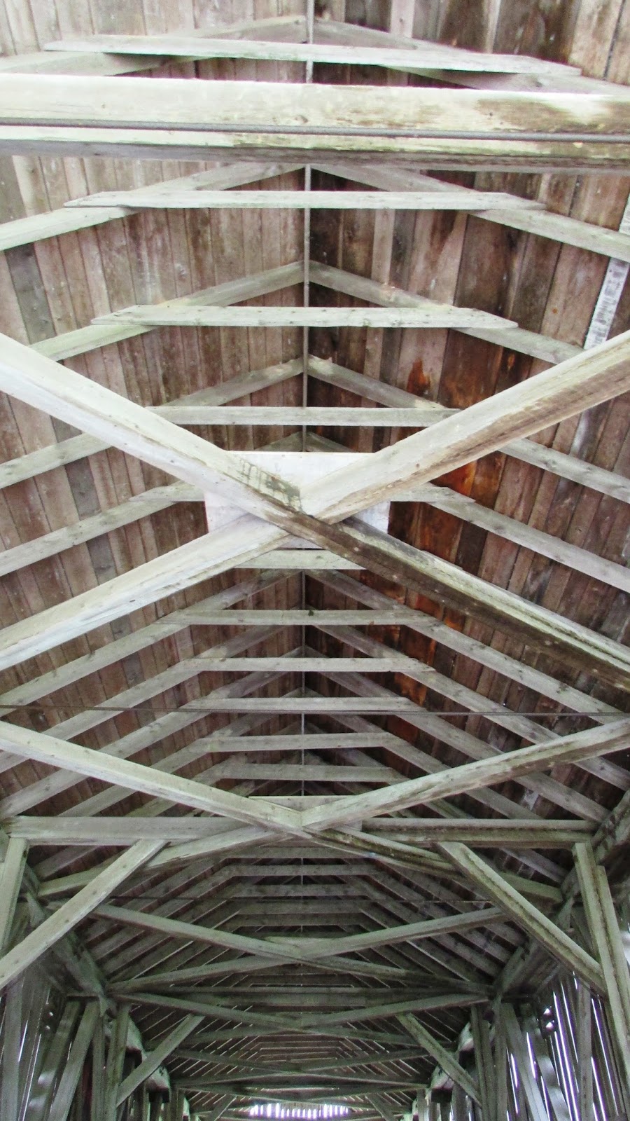
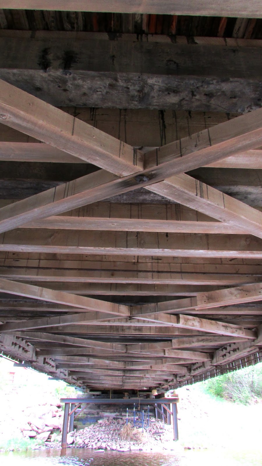
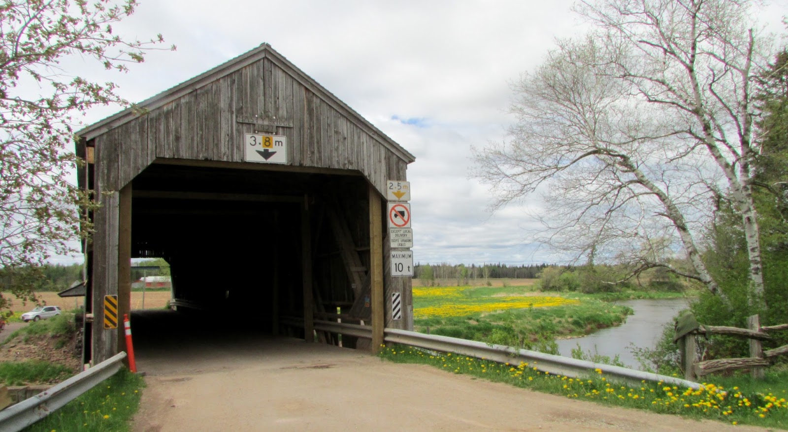
After an appointment at the museum in Saint John this morning, we carried on to seek out the Little Lepreau covered bridge.  We discovered that this area along the Bay of Fundy coast is gorgeous - none of the four people on the outing had ever been around these particular roads, so it was a lovely surprise.  The bridge itself was easy to find; it's almost immediately to your right after crossing the Basin Rd. intersection on Little Lepreau Rd.  This is another bridge that could use some TLC with replacement of missing boards and generally keeping the surrounding flora under control.  In days gone by, there was a local person put in charge of general maintenance of the bridges, clearing the snow, etc.  It would be nice if someone could be recruited for each of the out of the way bridges to watch over them and perform small maintenance jobs as required, instead of waiting for the DOT to get around to them all.

After you visit the bridge, it is highly recommended that you drive the coastal roads to places like Maces Bay and Dipper Harbour.  There are some wonderful views of the bay and fishing villages.  You also have to go right by the entrance to the Point Lepreau nuclear power plant along the way, and we stopped at the visitors' gate to see if it was possible to go in for a tour, but were told that they haven't been doing public tours since 2011.  So, that little idea was squashed.  The power plant itself is hidden from view behind the surrounding forest.


On the other side of the road from the bridge, the river empties into the Little Lepreau Basin.


July 4, 2016

Kennebecasis River No.23 (Malone)


The Kennebecasis #23 is the closest to the source of the Kennebecasis River in the foothills of Albert County.  This is another out-of-the-way bridge that requires attention to directions and a vehicle that can negotiate some rough spots on the old logging roads in and out.  Travelling in from the west off the 114, the Goshen Road is the worst part of it.  We came in from the east on the 895 to the Upper Goshen Road, which was in much better shape, and continued through to the 114 and from there down to Fundy Park.  If we didn't have an SUV, it would have been dodgy in places past the bridge, as it was deeply rutted from previous rains.  

The barn on the land beside the bridge has a sign proudly proclaiming the Malone name and year of establishment of the homestead.  It is obviously from this family that the bridge got its name.


 ***
July 4, 2016

A return trip after three or four years.  The roads aren't any better and the bridge seems to be in the process of being consumed by the wilds around it.  


June 24, 2016

Forty Five River No.1


October, 2014 

The Forty Five River bridge is located on a gravel road on the north-eastern perimeter of Fundy National Park.  This bridge is in a  beautiful out-of-the-way spot and was a bit tricky to get to last summer (road closed by ongoing park construction work), so it was with great joy and a sense of achievement that on the third attempt, one of my trusty Hounds and I finally got to the 'other' park bridge on an October afternoon.  After all the years of visiting Fundy, I had not even realized that there was another bridge in the park until I began to research where all the remaining bridges were located.  

According to Mary Majka's book, Fundy National Park,  the river gets its name from the time it took for water held upstream by logging dams to reach the Alma River after being released, i.e. 45 minutes.

If you plan to visit this bridge, be aware that the road is quite rough, and using a vehicle with high ground clearance is recommended.  Note that it is also inaccessible in the winter, except by snowmobile, despite what GPS may say.  


[Later entry: Asking the people who work in the main information center at the park headquarters what the current condition of the road is also a good option.  They were helpful to me when I wanted to go back in May 2016 and saved me getting stuck in impassable mud].
*
After a seemingly endless drive through the woods, at last!  A sure sign that there will be a covered bridge around the next bend in the road: a steel frame height restriction barrier.

I didn't scramble down to the river to get profile pictures of the bridge, as I was by myself in the middle of nowhere, and a sprained/broken ankle would have been undesirable.  Next time, I will make sure that I bring other people with me.  


***
June 24th, 2016 

We finally braved a return to the bridge on a hot, dry day.  The road was very rough still, and it took us 15 minutes to drive the 6 km from the branch in the Forty Five Road where it turns from decent gravel road to a track (from the southern approach).  We still haven't tried coming in from the Shepody Rd. on the northern perimeter of the park.  That might be a better road.


The view down from the window on the bridge.


May 23, 2016

Petitcodiac River No.3 (Hasty)


We revisited the Hasty Bridge on a long weekend, but there was scattered evidence of spring repairs in progress all around.  It looks like it took a beating last winter.  This bridge is located at a popular fishing spot, with one gang of people leaving as we arrived, and another coming in soon after.