 |
This is another 'retired' bridge, and also another one that is in need of some TLC, as the siding is falling apart in places.
Different sources give this bridge the sobriquet "travelling bridge", as it was originally located in Kent County somewhere. In the Gillis book (No Faster Than A Walk, see "Sources" page), the bridge is reported to have travelled to its new site independently in the spring flooding. Well, I have studied the maps, and I cannot see any possible way this bridge could have made its way from Kent County, unimpeded, via any known watercourse, so I will have to look into this. There would had to have been biblical-scale flooding in order to float all the way from Kent County to Upper Coverdale - or was it swept out to sea and then came back up the Petitcodiac with the tidal bore! Whatever it turns out to be, there will be a good story that goes with it in order for the tale to end with the bridge just showing up here in the spring thaw.        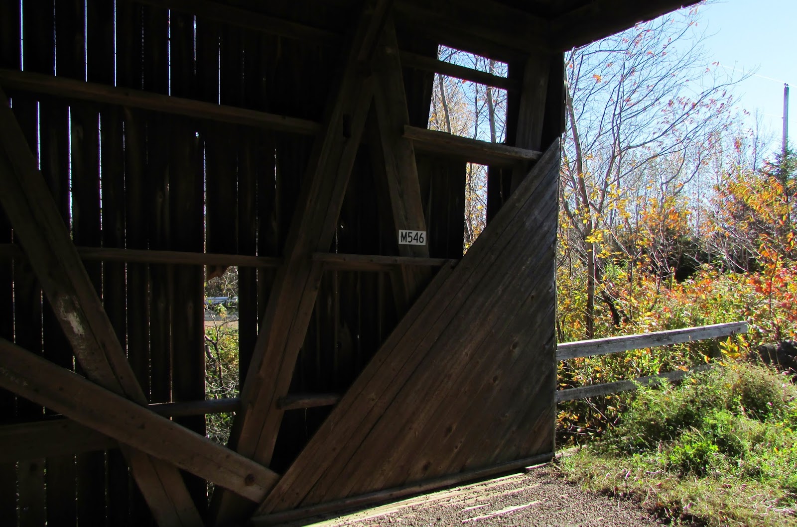  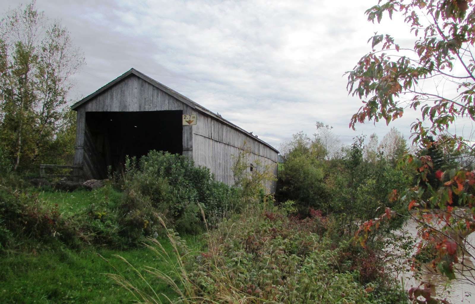 
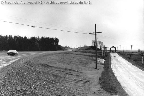
In the Archive photo below, you can see the old Coverdale bridge in the background. The remains of the abutment can still clearly be seen on the bank of the river in 2015.
  
Used with permission © Provincial Archives of NB

Used with permission © Provincial Archives of NB
***
March 11, 2016 - A visit with the tide most of the way out. You can get an idea from these pictures of how the enormous Bay of Fundy tides affect things far upstream in the Petitcodiac River.      |
March 11, 2016
William Mitton Bridge

February 2, 2016
Tantramar River No.2 (Wheaton)
One of my favorites, the Tantramar Bridge is located on the High Marsh Road on the legendary Tantramar Marsh, close to the New Brunswick-Nova Scotia border. This is a unique spot that has been loved by artists and poets for generations. Harriers, Bald Eagles, and other raptors can be seen hunting regularly over the surrounding hay fields.
February 2nd, 2016
A gorgeous day out to Sackville and and the High Marsh Road to take some winter photos of the bridge.


A gorgeous day out to Sackville and and the High Marsh Road to take some winter photos of the bridge.


January 24, 2016
Sawmill Creek No. 5

Sawmill Creek Bridge is undoubtedly the most 'driven by', if not visited, bridge in Albert County, as it is lies close and visible to Route 114, the busy main tourist thoroughfare between Moncton and Fundy National Park. This bridge was rescued and moved slightly downriver by the Albert County Historical Society when a new bridge was built in 1975 to accommodate increased traffic and weight loads. I found some pictures on the Provincial Archives site showing before and after views, which I will add first.
 |
Used with permission © Provincial Archives of NB
|
 |
Used with permission © Provincial Archives of NB
|


 |
There is an avenue of birch trees to the west of the bridge which would have been planted after the bridge was moved. It makes a nice photo op frame, different in each season.

Close to the bridge there is a guest ranch that has regular trail rides across the bridge, which is also part of the Trans Canada Trail, so the replica historic sign on the east side of the bridge is appropriate.


In the photograph below, the bridge is seen behind the remains of an old railway bridge in the foreground, which would have been part of the Albert Railway that once ran along here.


My first winter pictures of a covered bridge. It's always been such a warm weather activity for me, visiting bridges, but I thought I'd venture out and photograph some of the nearby ones this winter.


Subscribe to:
Posts (Atom)