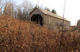
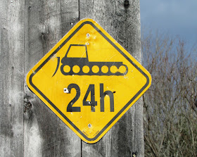
Depending on the time of year, this bridge can be obscured from the road by trees, and there is no signage to warn you where to turn. It is very close to the Shediac River Road, just down a short track on the north side. This is another 'retired' bridge that has been incorporated into the snowmobile trail system.
Visiting and photographing all the remaining historic covered bridges in New Brunswick, Canada
Pages
▼
November 27, 2015
Shediac River No.4 (Joshua Gallant)
Depending on the time of year, this bridge can be obscured from the road by trees, and there is no signage to warn you where to turn. It is very close to the Shediac River Road, just down a short track on the north side. This is another 'retired' bridge that has been incorporated into the snowmobile trail system.
November 19, 2015
Point Wolfe
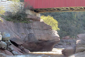
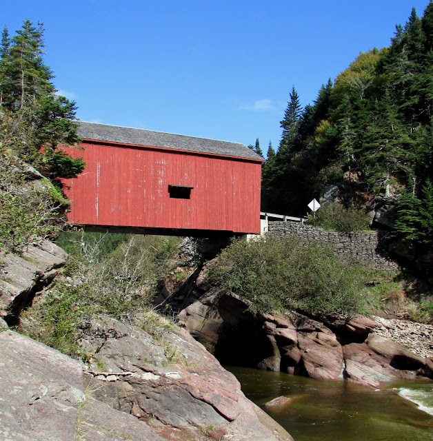
The current bridge
 |
| Used with permission © Provincial Archives of NB |
 |
| commons.wikimedia.org/wiki/File:Point_Wolfe_Dam_-_Fundy_National_Park.jpg |
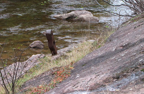
And this is what remains in 2015.


If you want to take some original photographs that will be different from the typical tourist-y shots of this bridge, then hike down to the Point Wolfe beach at low tide, walk across to where the Point Wolfe River enters the estuary, and you will have the following view of the bridge. The estuary floor is not all sand and rock, and we sank deeper than our ankles in one soft spot under the seaweed, so choose your footwear accordingly.

This is the view from the bridge looking downstream showing where you will end up - just at the end of the rock wall on the right.


